About
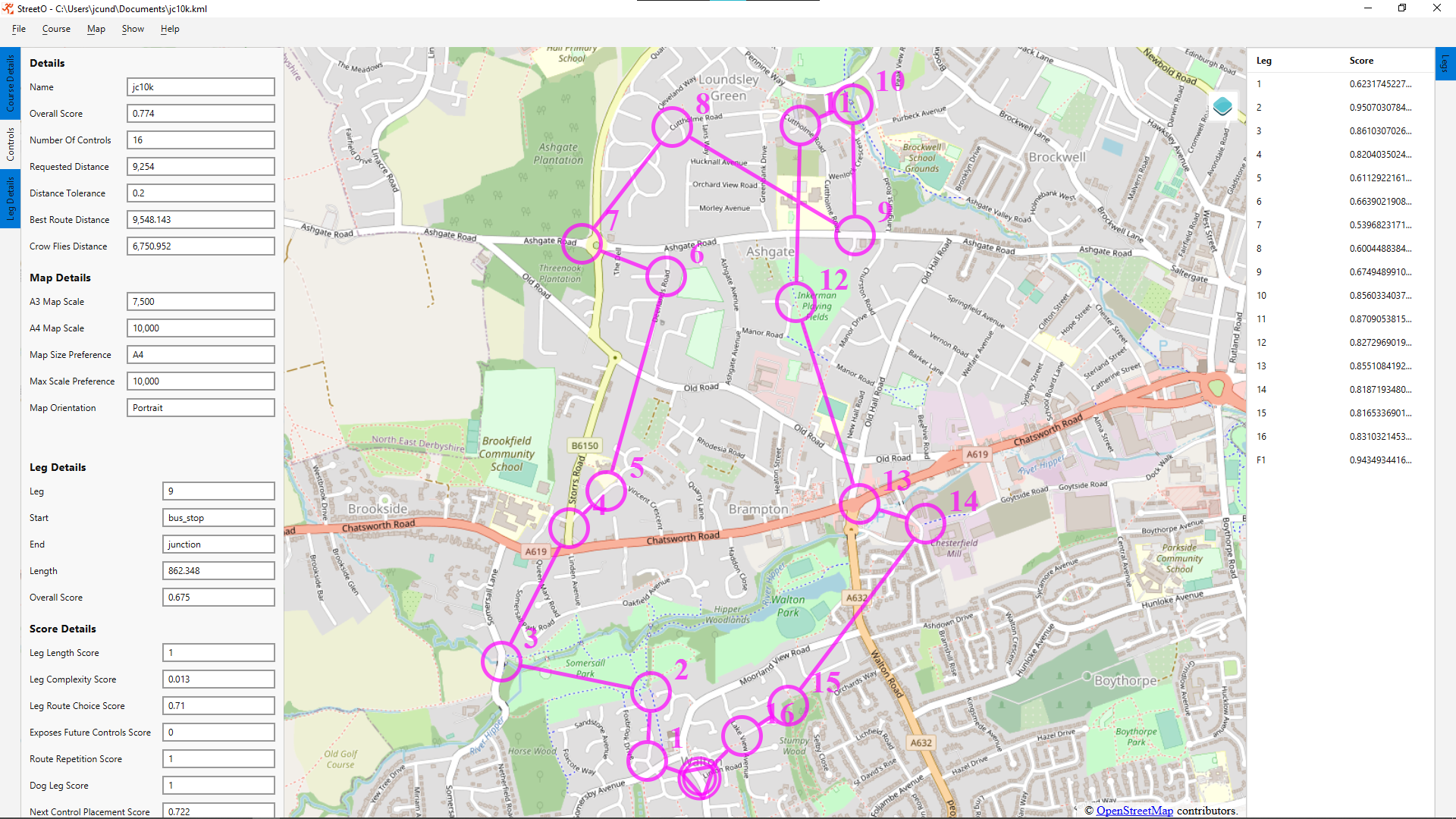
StreetO is a desktop application that uses goal based search algorithms to automatically generate urban orienteering courses from OpenStreetMap data.
It uses routing algorithms on top of OSM data to try and find a number of challenging course legs that would make for an interesting urban orienteering course of a given distance at a specified location.
The start location is specified as a parameter to the algorithm and can be anywhere in the world as long as an OSM protobuf file covering that location has been loaded into the system.

StreetO software is open source and available under the MIT license.
Windows, macOS and Debian installers are available for download from GitHub.
Note that currently the installers are not digitally signed, this will be fixed in the future. But for now they will trigger warning messages.